Ceará in Maps: A faithful portrait for planning investments

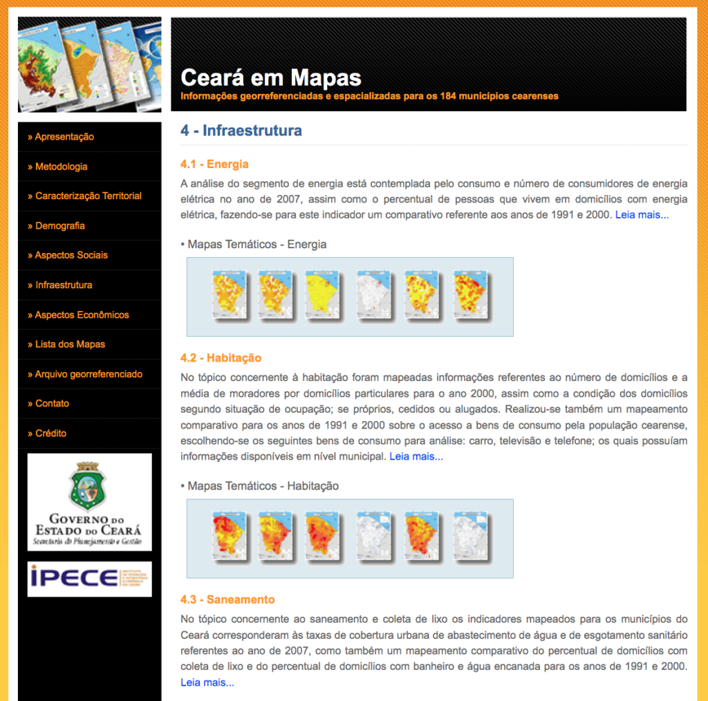
Launched by IPECE in 2007, Ceará in Maps contains georeferenced and spatialized information, updated annually, in the form of thematic maps of the 184 municipalities of Ceará. The site addresses aspects related to political-administrative division, geo-environmental characteristics, demography, infrastructure, and socioeconomics, allowing awareness and also deepening the analysis on the most varied aspects of Ceará's reality.
Analytical texts were also prepared that succinctly describe each aspect mapped.
The maps make it possible, for example, to establish comparisons between municipalities, to identify those that are in better or worse situations for a given indicator studied, to assess the presence of clusters of municipalities with similar indices, as well as to conduct a space-time comparison for a given indicator, facilitating the investment decision process.
Analytical texts were also prepared that succinctly describe each mapped aspect.
Access Ceará in Maps here.


